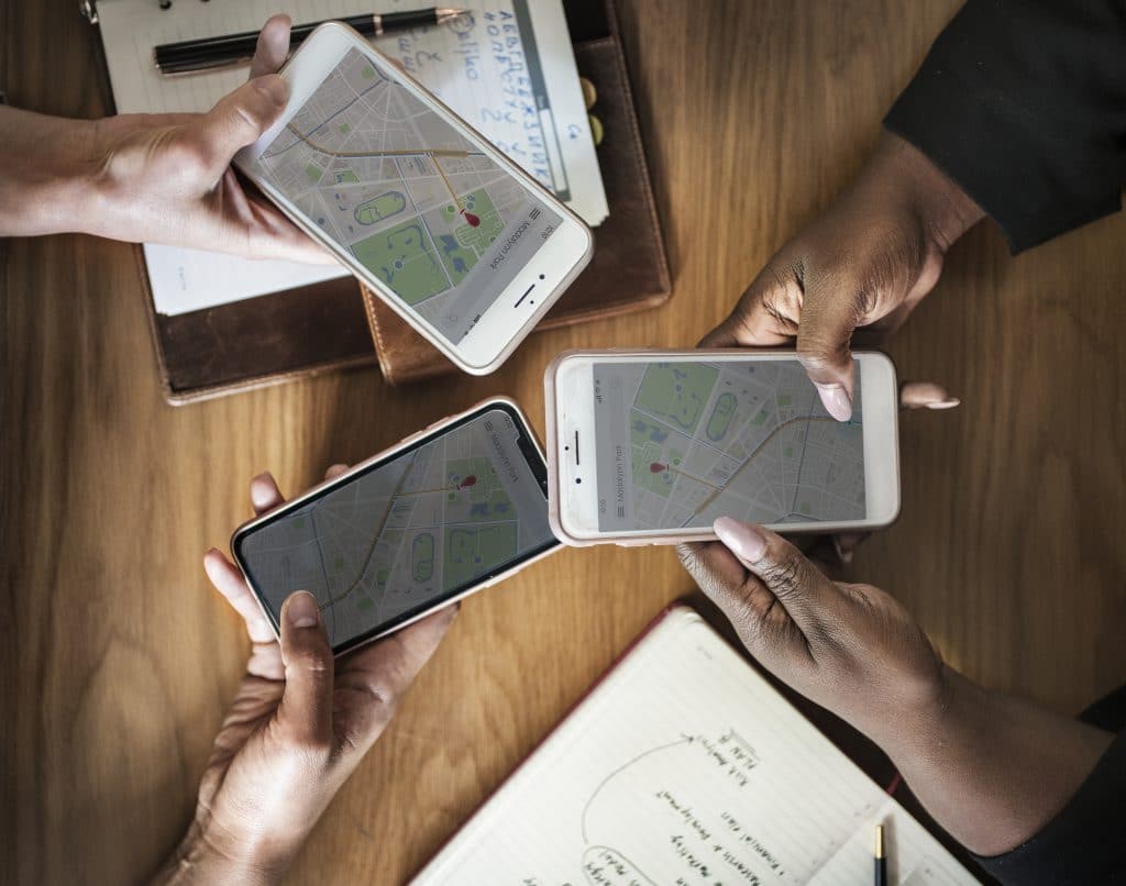
GPS apps are helpful for people in our business. Gone are the days where you have to look at a physical map which is not only a hassle but time consuming – something that we do not appreciate when someone needs our help. With so many apps in the market , what’s the best GPS app to help you and your dispatchers? We have taken a look at the apps that we use in the provider portal and heres what we learned.
Waze
Waze is the best on the market for avoiding traffic. It offers the step-by-step instructions of all driving directions apps, but with a focus on finding the best possible route and avoiding traffic, potholes, police, and more as much as possible. The app outlines the quickest route and highlights road blockages, accidents, stopped cars, and more along the way.
Google Maps
It’s probably already your go-to for checking directions and driving time on your computer, but Google Maps has an equally good navigation app for driving, walking, biking, and transit directions. The app offers real-time traffic updates, plus ways of finding restaurants and activities (with reviews).
There are hundreds of GPS apps on the market only a few or optimized for roadside assistance companies.
Choosing the right GPS software can help your dispatch manage your fleet better
Apple Maps
If you have an iPhone, you know Apple Maps. The driving directions app is the default on all iOS devices and is a solid option for navigating. It will get you where you need to go with minimal frills—perfect for someone who might get overwhelmed by restaurant pop-ups or traffic alerts mid-drive.
Maps.Me
MAPS.ME offers entirely offline navigation services, so driving directions are always available, sans hiked data usage (and the accompanying higher phone bills). Driving, walking, and cycling directions are available, and the maps will highlight points of interest along the way. A comprehensive bookmarking system allows users to flag places they’ve visited and loved and even share them with friends.


